This is the official fifth release of the CIMR Mission Requirements Document (MRD v5), prepared by ESA, including contributions of the Mission Advisory Group.
The MRD is a key reference document for the CIMR mission.
A Community Session at the 2023 IEEE International Geoscience and Remote Sensing Symposium (IGARSS 2023) in Pasadena, California, USA, 16 - 21 July, 2023 is dedicated to CIMR:
CCS.146: Preparing for the Copernicus Imaging Microwave Radiometer (CIMR)
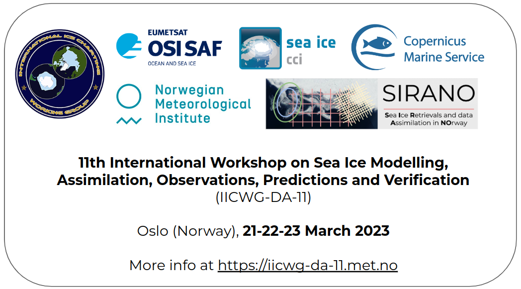
The Norwegian Meteorological Institute hosts the IICWG-DA-11 sea-ice workshop 21-22-23 March 2023 in Oslo. Find more information at https://iicwg-da-11.met.no.
A new paper was published at JGR: Oceans concerning the CIMR mission: Ocean and Sea Ice Retrievals From an End-To-End Simulation of the Copernicus Imaging Microwave Radiometer (CIMR) 1.4–36.5 GHz Measurements
The figure illustrates the sensitivities of the low passive microwave brightness temperature at the top-of-the-atmosphere, in terms of Sea Surface Temperature (SST), Sea Surface Salinity (SSS), Ocean Wind Speed (OWS) and Sea Ice Concentration (SIC) as a function of frequency from 1 to 40 GHz, range that is covered by the CIMR MRC channels.
The diagram illustrates the three first satellite missions designed to measure the radiation emitted from the Earth at L-band (ESA's SMOS, NASA/CONAE Aquarius/SAC-D and NASA SMAP) and their continuation through the candidate mission Copernicus Imaging Microwave Radiometer (CIMR).
The figure shows the simulated CIMR sea ice concentration field. The sea ice concentration is computed using the Bristol algorithm as an example, applied on simulated brightness temperatures at the resolution of CIMR.
The CIMR mission is specifically designed to ensure sub-daily coverage everywhere in the Arctic region, so as to support the Integrated EU Arctic Policy. Particularly, CIMR will achieve full sub-daily coverage of the Arctic Ocean and adjacent seas (including "no hole at the pole").
These maps combine the daily (24h) Synthetic Apperture Radar (SAR) Arctic coverage of Copernicus Sentinel-1 A and B satellites (orange), with unique ship visits 2009-2016 in the Arctic (blue-yellow).
Average top of atmosphere brightness temperatures (Tbs) and standard deviations of Arctic open water, first-year and multiyear sea ice at typical imaging frequencies between L-band (1.4 GHz) and W-band (89 GHz).
With Arctic sea ice retreating, Sea Surface Temperature (SST) is an increasingly important parameter to observe. Infrared (IR) sensors, such as Sentinel-3 SLSTR are blocked by clouds. Being an advanced Passive Microwave instrumnent, CIMR will measure SST through clouds at 15 km resolution.
The diagram illustrates the frequency channels of the candidate Copernicus Imaging Microwave Radiometer (CIMR) mission, and their targeted spatial resolutions. CIMR is also compared to two other similar Passive Microwave Radiometers (PMR): the Japanese AMSR2 in orbit since 2012, and the MWI to fly on-board the European EPS-SG satellites from ~2023 (MWI-SG). Also, the resolution of the planned L-band channel is compared to NASA SMAP, and ESA SMOS.